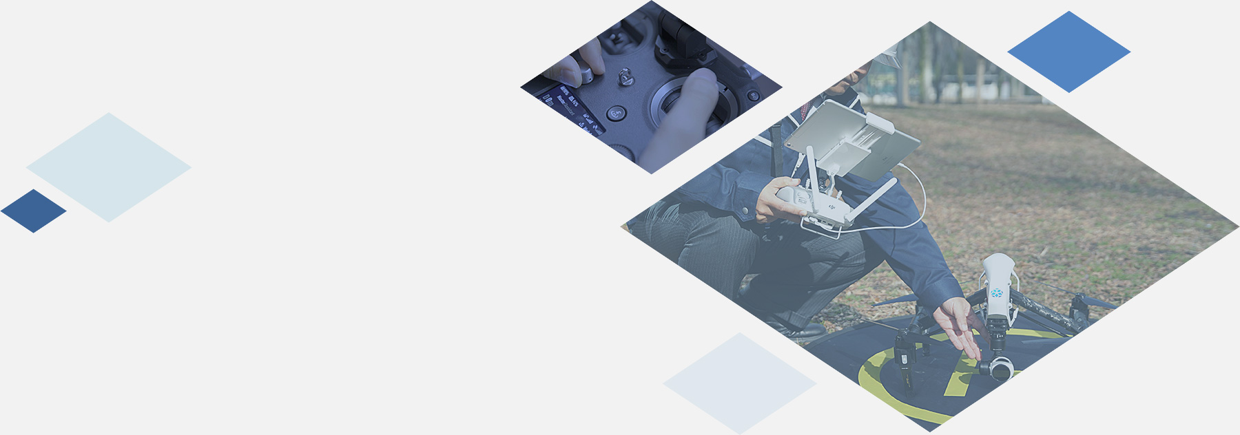
Spatial information solution
We provide engineering services to promote the capture and effective use of geospatial data.
We provide geospatial data capture and analysis including 3D modeling,
and their effective use in industries such as infrastructure maintenance and disaster recovery.
Infrastructure maintenance using UAVs
- Mobile antenna tower maintenance
- Infrastructure investigation after disasters

3D modeling in infrastructure maintenance
- 3D modeling of terrain data for GIS
- Use of 3D data for infrastructure maintenance
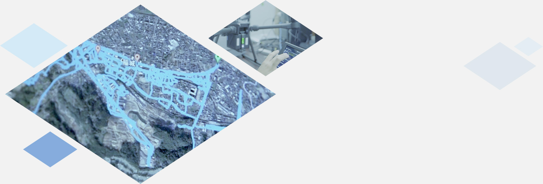
Image capture using UAVs
- Aerial image capture of plants and facilities
- Aerial image capture for promotional uses